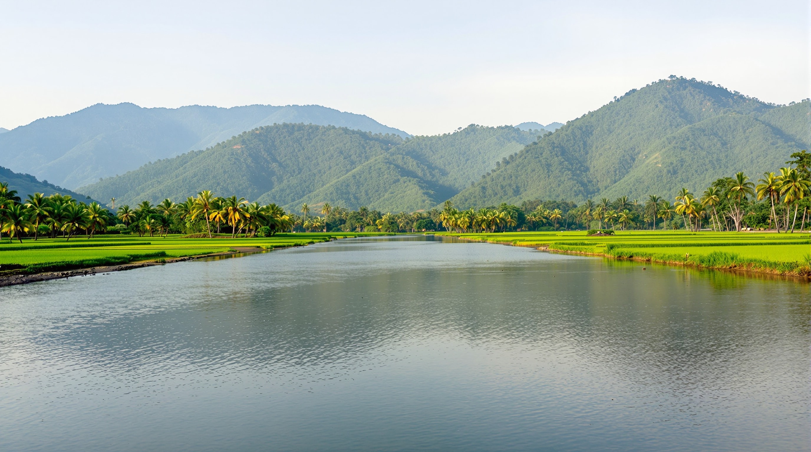
No feature is more central to Eruvadi - literally - than the Nambi river, which flows through the middle of the town and divides it into a northern and a southern half. Known more formally as the Nambiyar, it is a modest river by world standards, but it has done more to shape this place than any road or ruler, and to understand Eruvadi you first have to understand its water.
From the Ghats to the Sea
The Nambiyar rises in the Western Ghats to the west of the town, in the same mountainous country that holds the Kalakkad-Mundanthurai Tiger Reserve, and runs eastward across the Tirunelveli plains toward the Gulf of Mannar. Like the region's other rivers, it is fed by seasonal rains and by the streams of the Ghats, running fuller in the monsoon and quieter in the dry months. Its valley is farming country, and the river's reliability - or otherwise - has always governed the fortunes of the fields it waters.
A River at the Centre of the Town
What makes the Nambi unusual is not its size but its position. Most towns grow beside a river; Eruvadi grew around one. As described in the history section, when the settlement expanded northward across the river into Puliyur, the new streets were deliberately laid out so that each of them runs down to the water's edge. The river is therefore not a boundary at the town's edge but its shared central spine - a place of crossing, gathering and daily use that everyone's street leads to.
Water and the Fields
The Nambi's most important job has always been agricultural. The paddy and banana that ring Eruvadi depend on water, and the river, together with wells and seasonal rain, is what makes this fertile pocket of the dry south possible. Across the wider district, the rivers descending from the Ghats have been dammed and channelled for centuries to irrigate exactly this kind of farmland - the great example being the Thamirabarani to the north. The relationship between river and field is explored further on the agriculture and livelihood page.
The River in Daily Life
Beyond irrigation, a river running through the heart of a town becomes part of its daily texture: a place where the streets meet, where the light changes across the day, and where the seasons are visibly marked by the rise and fall of the water. For generations of Eruvadi's people - including those who have spent long years working in the treeless cities of the Gulf - the image of the Nambi threading between the streets is one of the strongest emblems of home.
Rivers of the Region
The Nambiyar is one of a family of short, steep rivers that drain the southern Western Ghats into the Gulf of Mannar, alongside the larger Thamirabarani and others such as the Karunaiyar and Hanumannathi. Together they define the geography and agriculture of southern Tirunelveli district. The wider network is summarised in the entry for the Nambiyar River and in the broader story of the Nellai region.